Special administrative region · China
Hong Kong
A 2018 journal of harbour skylines, hilltop views, temple courtyards, and Lantau’s mountain landscape.
One canonical city journal
Everything for Hong Kong, together
A 2018 journal of harbour skylines, hilltop views, temple courtyards, and Lantau’s mountain landscape.
This page consolidates the city’s writing, photographs, mapped stops, practical detail, and locally matched saved places. Regional route pages remain useful for wider context, but this is the stable journal URL for Hong Kong.
Consolidated journal
Descriptions, photographs, and details
The entry below preserves the useful material that previously lived on an independent journal page.
Victoria Harbour
First read the city from the water
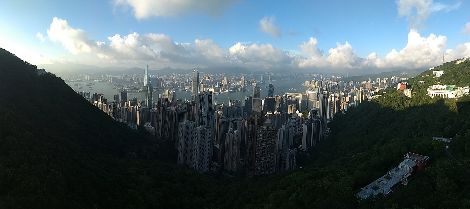
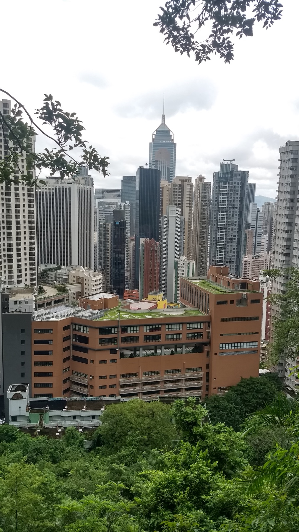
Hong Kong’s density makes more sense when there is distance around it. At the harbour, the skyline becomes a continuous wall broken by ferries, piers, and moving reflections. From The Peak, that wall becomes a narrow band inside a much larger geography of steep green slopes and sheltered water.
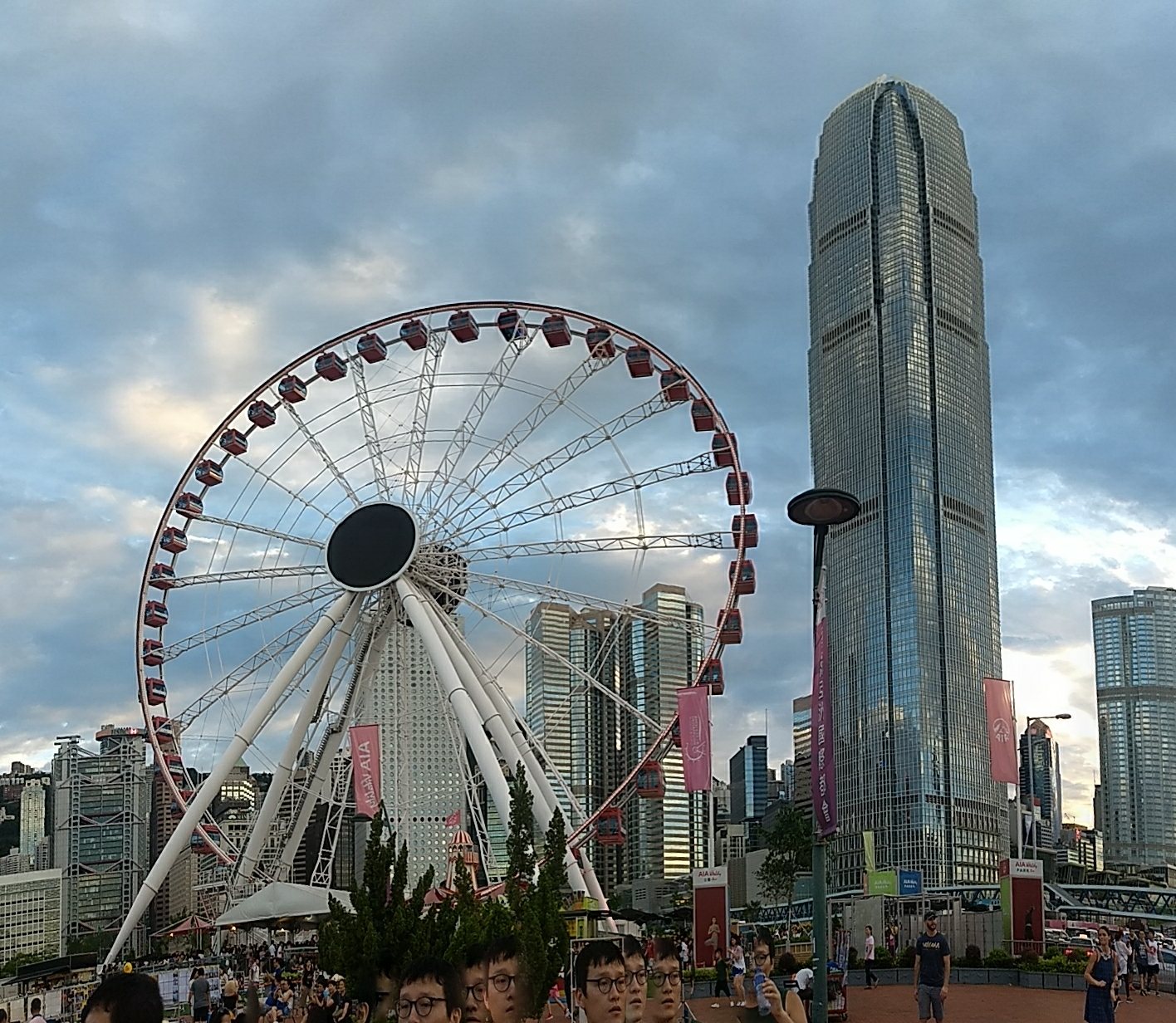
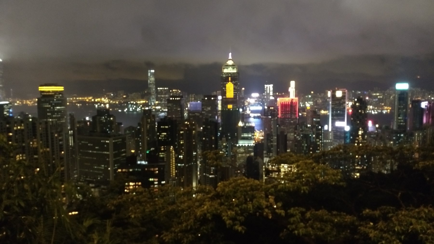
The photographs move between those two scales. The observation wheel gives the waterfront a bold foreground marker. Daylight from above makes the city’s structure legible; night reduces it to light, edge, and silhouette. It is the same view, but not the same experience.
A different rhythm
Pause inside the moving city
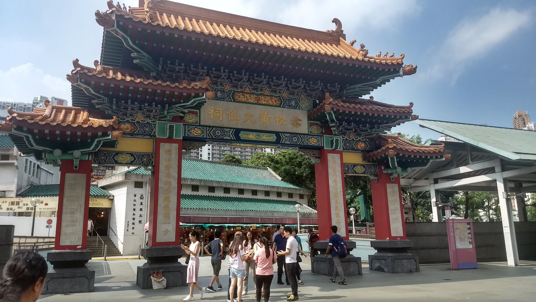
Wong Tai Sin adds another kind of urban space to the journal. Colour, ornament, incense, and courtyard movement replace the cool distance of the skyline views. It deserves time as a living place of worship rather than as a decorative stop: observe signs, keep routes clear, and let worshippers set the pace.
Diamond Hill
Chi Lin and Nan Lian create stillness without leaving the city
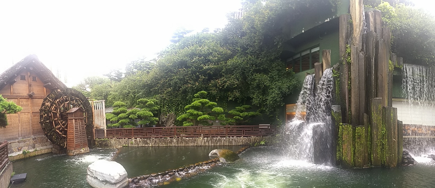
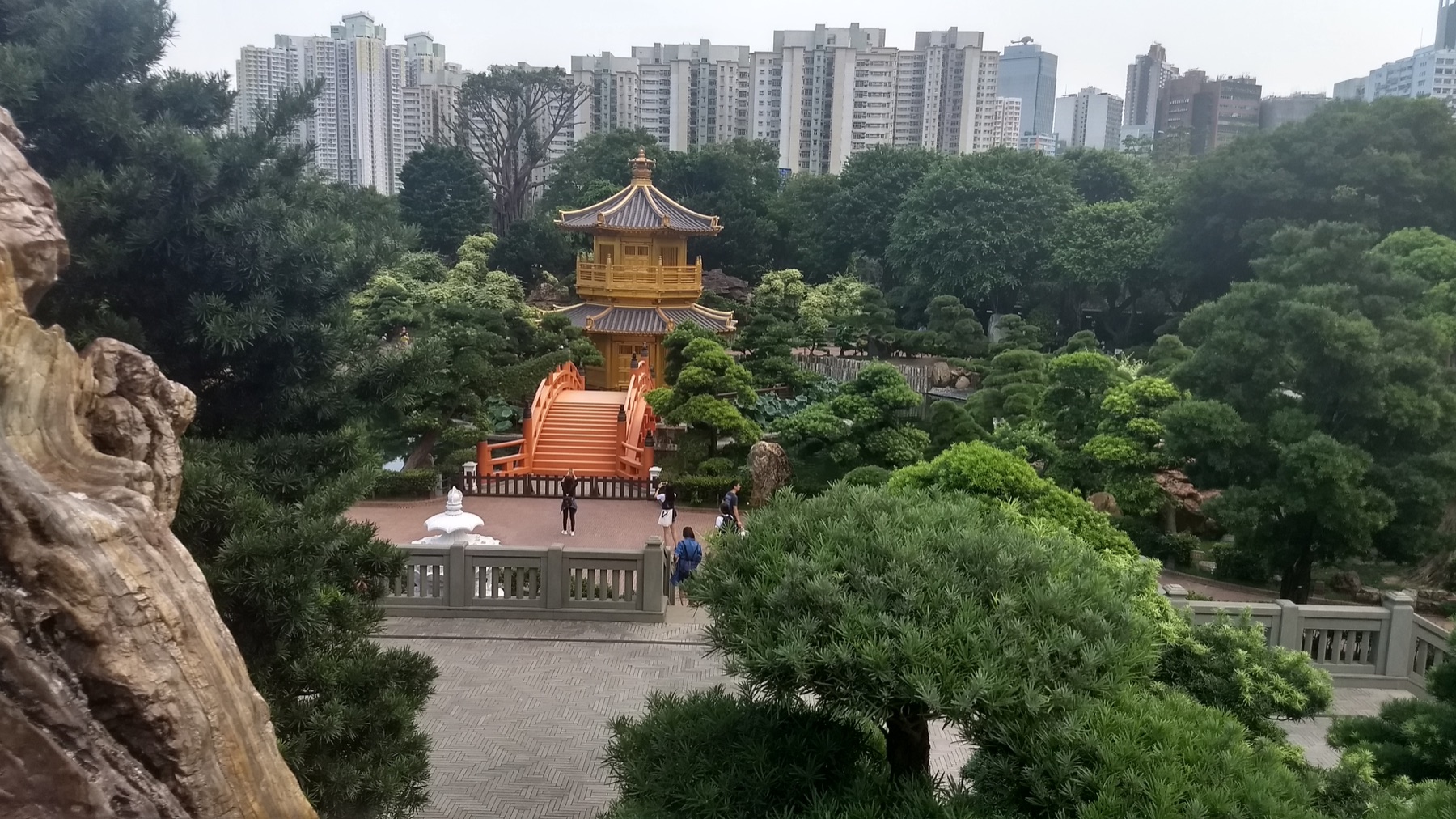
The 2018 photographs move between the timber architecture of Chi Lin Nunnery and the carefully composed water, stone, and planting of Nan Lian Garden. High residential towers remain visible beyond the roofs and trees, which makes the calm more interesting: this is not a retreat outside Hong Kong, but a deliberate pause held inside it.
The Hong Kong Tourism Board recommends maintaining respectful silence and following photography restrictions inside the religious complex. Give the garden enough time for one full circuit rather than making the golden pavilion the only objective.
Green Hong Kong
Tai Tam, Bowen Road, and Quarry Bay reveal the city’s walking scale
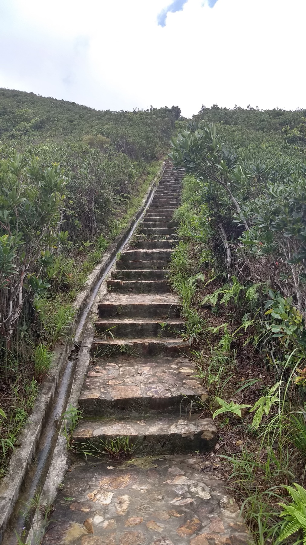
Tai Tam is a waterworks landscape as well as a green escape. The official heritage trail links dams, bridges, and aqueducts built across several decades, so the reservoir is both scenery and infrastructure. The archive catches steep steps, enclosed vegetation, and the sudden release of open water.
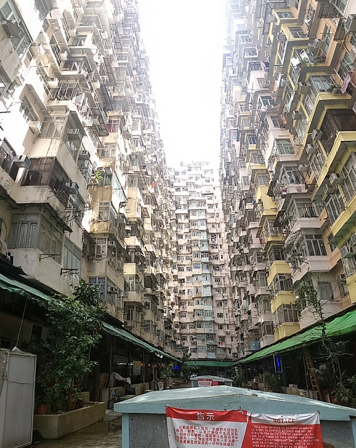
Bowen Road offers an easier elevated walk with glimpses through the trees, while Quarry Bay puts dense housing, old industrial geography, and trail access close together. These routes should be grouped by effort rather than distance. Carry water, check heat and rain, and leave exposed or slippery sections for good daylight.
South coast
Stanley works best as a change of tempo
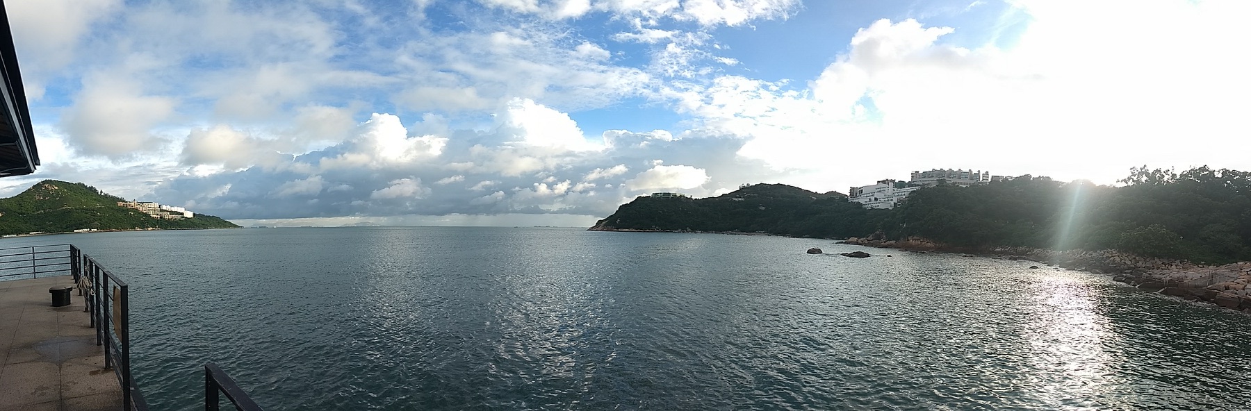
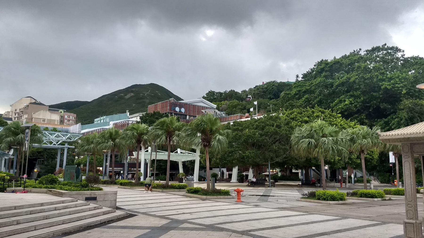
A bus journey across Hong Kong Island ends beside a bay rather than another wall of towers. The market, waterfront, historic buildings, and open sea fit into a relaxed half-day. The photographs are strongest at the water’s edge, where boats, low hills, and changing light give the city a horizontal composition.
Walk the waterfront before deciding where to stop. The official tourism guide notes that Stanley has no MTR connection, so allow for the bus journey and check the return route instead of treating transport as invisible.
Across the island
Trade towers for mountain air
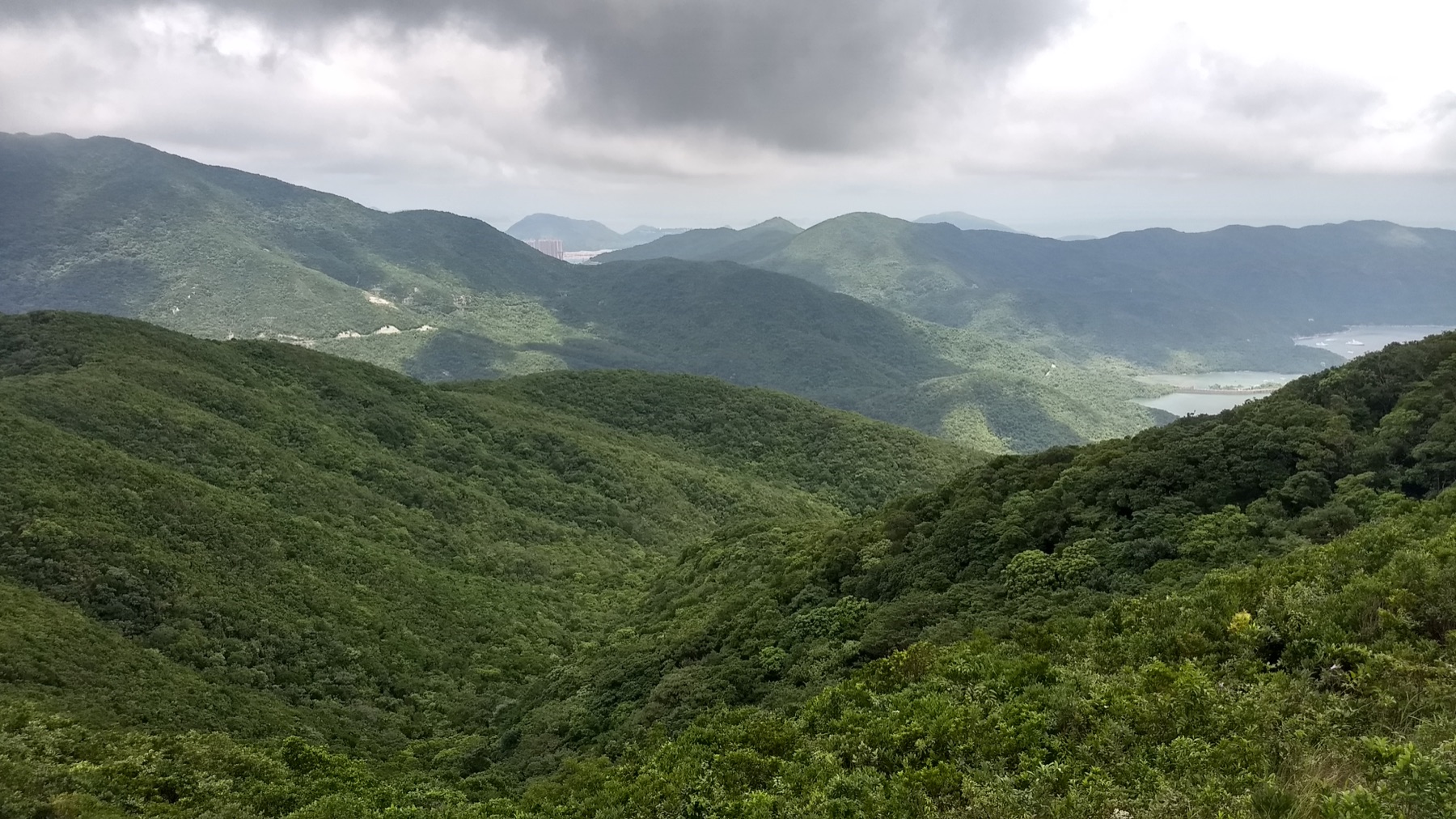
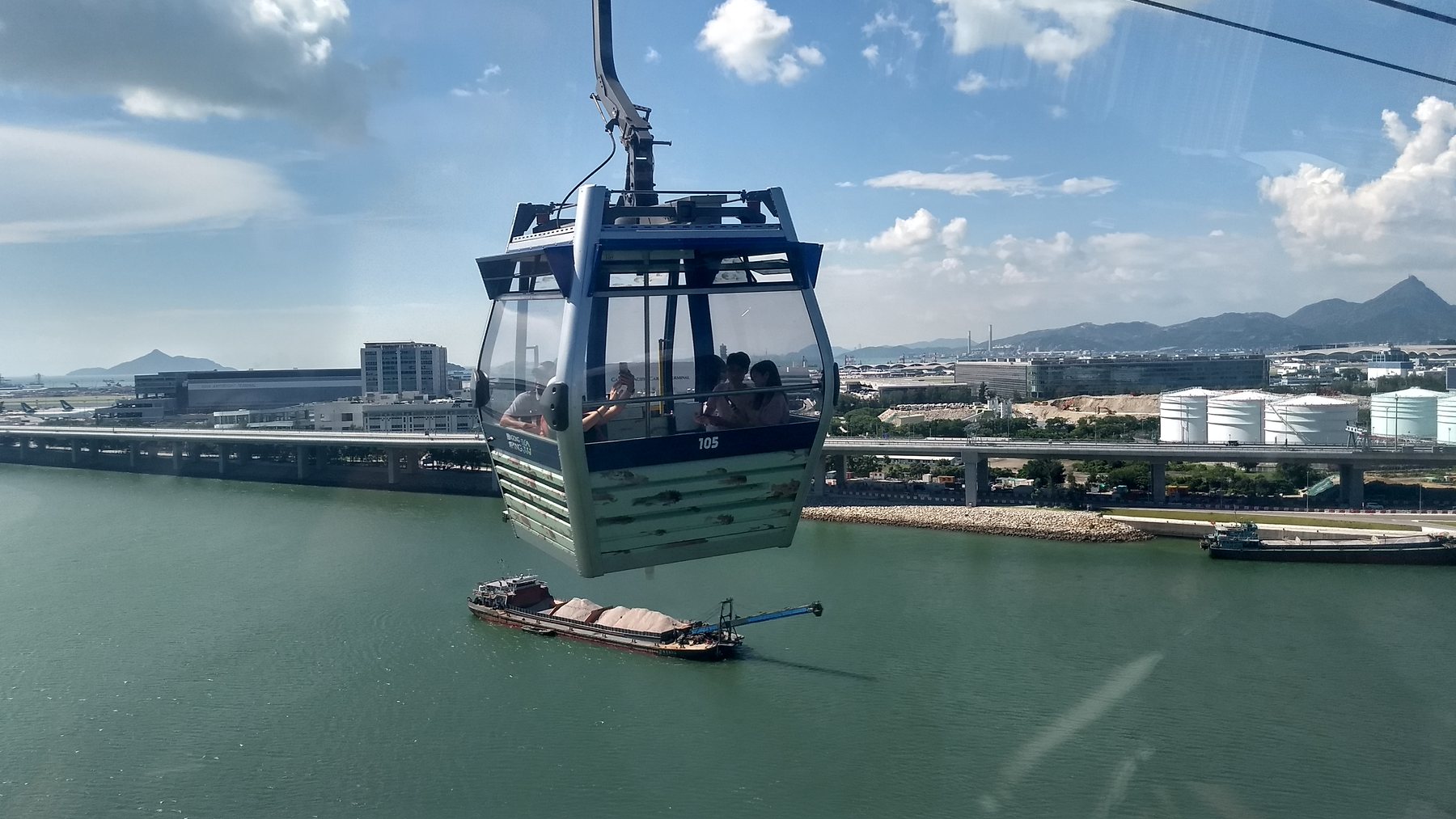
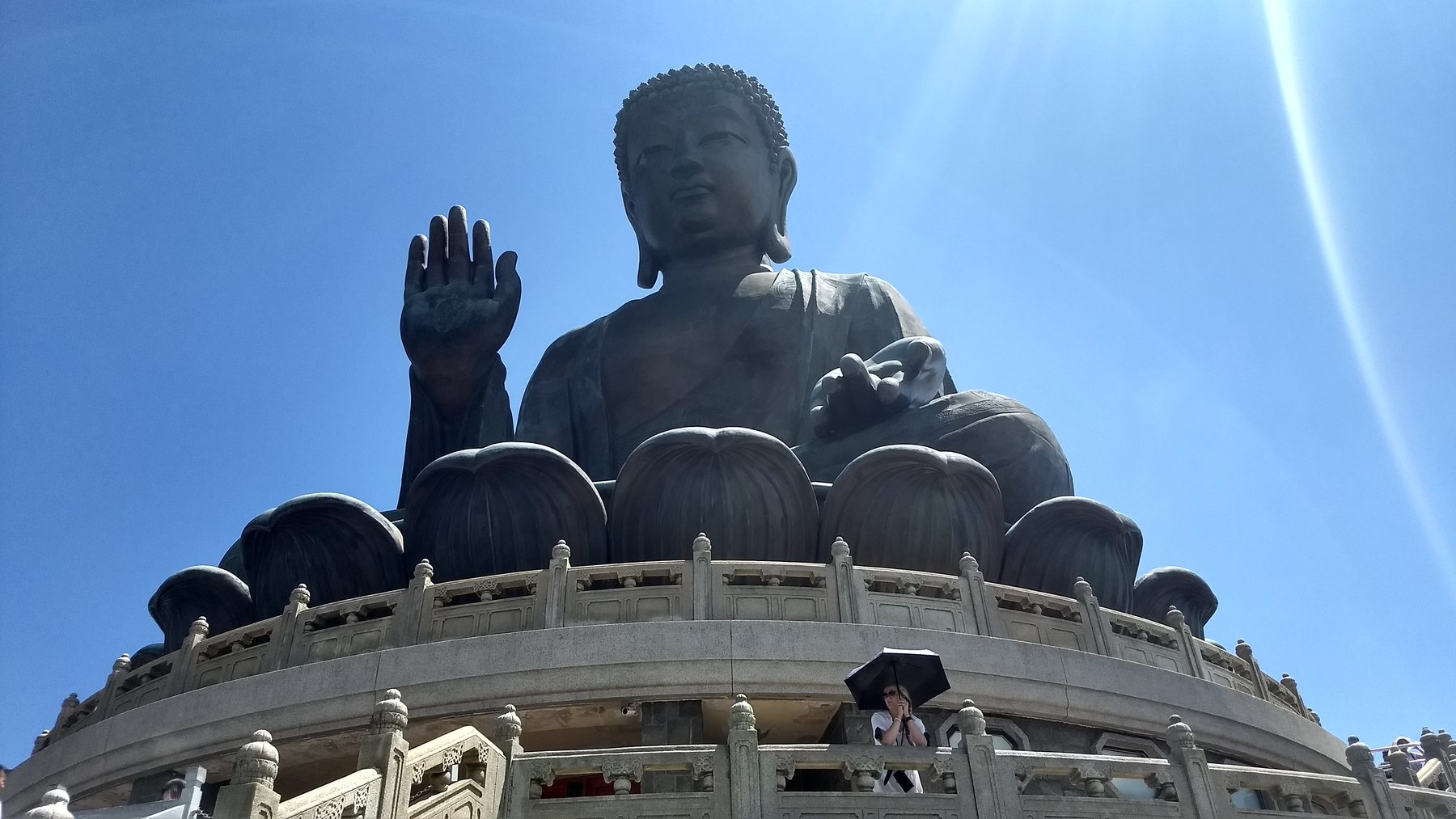
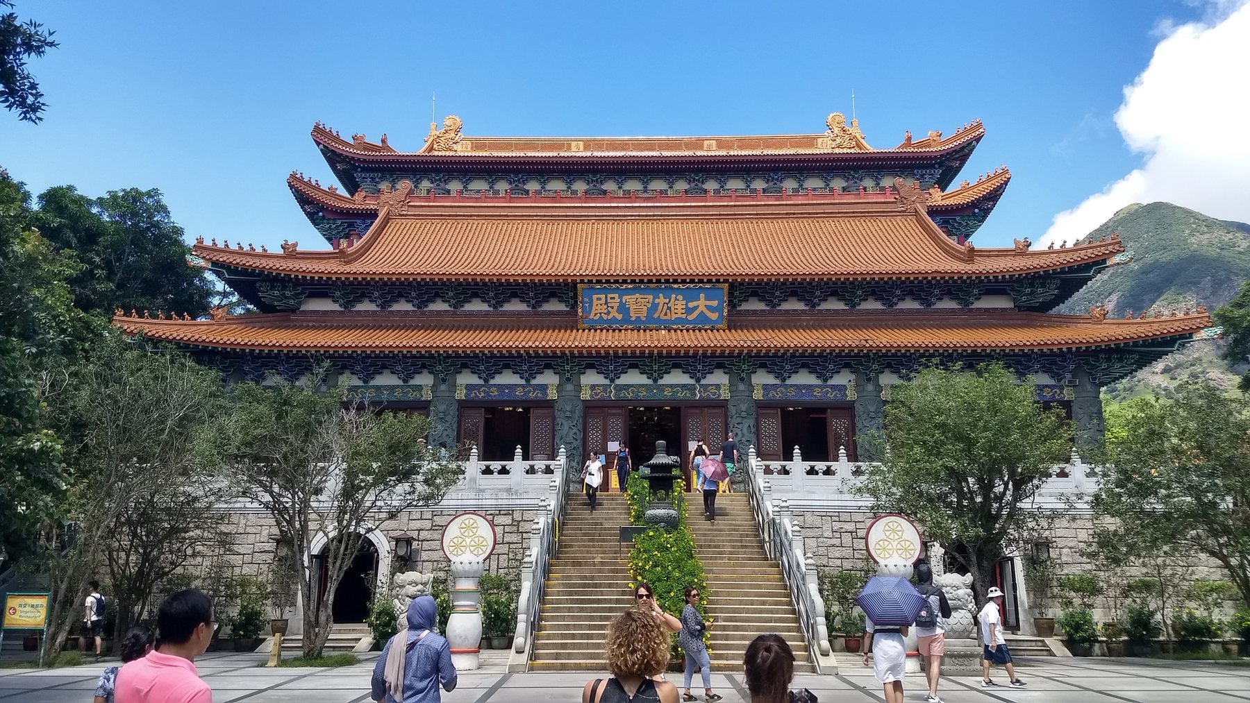
The journey to Lantau changes gradually. A cable car lifts above roads and development, then carries the eye across water and ridges. The Tian Tan Buddha appears as a distant point before becoming the dominant landmark at Ngong Ping. Nearby, Po Lin Monastery shifts attention back to courtyards, colour, and detail.
Harbour edge
Begin at water level, watching ferries and skyline share the same frame.
The Peak
Choose a clear interval if possible and stay long enough to see the light change.
Temple courtyard
Slow the route at Wong Tai Sin and treat the complex as an active place of worship.
Lantau day
Give the cable car, Buddha, monastery, and mountain weather a full, flexible day.
Photo essay
A city that keeps changing scale
Before you go
Let transport shape the itinerary
Group by geography
Harbour and central-city stops combine naturally. Keep Lantau as its own day.
Watch visibility
Cloud and haze change high-level views quickly. Keep the Peak timing flexible.
Respect worship
Use quiet voices, follow photography notices, and never obstruct prayer or processions.
Check operations
Cable cars, ferries, and viewpoints can be affected by maintenance and weather.
Context
Official reading
Current context was checked against Hong Kong Tourism Board guides to Victoria Harbour, The Peak, Wong Tai Sin Temple, Chi Lin Nunnery and Nan Lian Garden, Tai Tam Reservoirs, Stanley Main Street, and Lantau Island.
Broader route context remains in the source travel guide.
Personal shortlist
Want to Go places around Hong Kong
These pins come from the personal Google Maps Want to Go collection and fall inside this city’s mapped boundary or local radius. Every matching pin is available on the searchable map above.
The interactive map contains 12 more saved places.
Journal notes
Use this as a living travel record
Verify current access
Opening hours, permits, transport, weather, and local rules can change after a journal entry is written.
Read the map selectively
The saved list is a set of possibilities, not a checklist. Filter it and build a route around one compact area at a time.
Distinguish visits from ideas
Green journal stops are documented or photographed; red Want to Go pins remain future possibilities.
Add the next chapter here
Future descriptions and photographs now have one stable city page instead of being split among collection pages.